Kiste åbnet
+${chestReward.xp} XP
Explorer
NOUVEAU ×${chestReward.collectible.quantity}
tapez pour fermer

Se monumenterne omkring dig i AR Åbn kister i appen

Around Us er lavet til din telefon — ret dit kamera mod gaderne, og opdag monumenter og steder omkring dig i augmented reality. Around Us er lavet til din telefon — kister låses op, når du går, udforsker og fotograferer steder i nærheden.

•

Aktivér placering

Vi har brug for din placering for at vise dig interessante steder omkring dig

Opdag steder i nærheden

Find interessante steder og skjulte perler omkring dig

Præcise rutevejledninger

Få præcise rutevejledninger og afstande til steder

Din placering deles aldrig med andre brugere. Den bruges kun, når du trykker på placeringsknappen.

Bibury

Log ind på din konto

Begynd at udforske — det er gratis

90.496 rejsende verden over stoler på os

Fortsæt med Google
Fortsæt med Apple
eller

Vi sender dig en kode, så du kan logge ind

Ved at fortsætte accepterer du vores vilkår og betingelser og vores privatlivspolitik

Tjek din indbakke

Vi har sendt en pinkode til din indbakke. Indtast koden nedenfor.

Diskussion Anmeldelser 1 Fotos
0 Popularitet

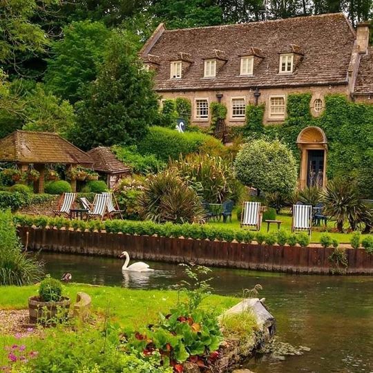
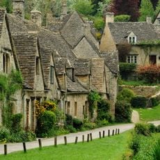
Bibury, Landsby i Cotswolds, Gloucestershire, England.

Audioguide · Cirka ét minut
Forbereder din audioguide… Audioguiden kunne ikke indlæses, prøv venligst igen.Log ind for at lytte til audioguiden

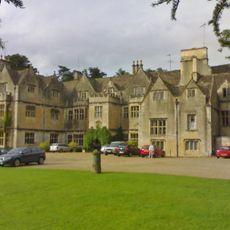
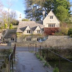
Bibury ligger langs floden Coln med honningfarvede stenhus fra 1600-tallet og engområder, der skaber en landlig ramme i det engelske landskab.

Landsbyen optræder i Domesday Book fra 1086 som Becheberie og var kontrolleret af klosterinstitutioner, herunder St Mary's Priory Worcester, indtil opløsningen i 1540.

William Morris beskrev berømt Bibury som den smukkeste landsby i England, og den har været vist på britiske pas som et symbolsk billede af det britiske landskab.

Besøgende kan bo på Swan Hotel eller i feriehuse, fiske på ørredfarmen grundlagt i 1902 og udforske vandreruter, der forbinder nærliggende landsbyer i Cotswolds.

Arlington Row har huse bygget i 1380 som klosteruldlager, senere omdannet til væverhjem, hvilket gør det til en af de mest fotograferede gader i England.

Fællesskabet af nysgerrige rejsende

AroundUs samler tusindvis af udvalgte steder, lokale tips og skjulte perler, som hver dag beriges af 60,000 bidragydere verden over.
Begynd at udforske
Placering
Bibury
Adresse
Bibury, Cirencester GL7, UK
GPS-koordinater
51.76740,-1.82902
Seneste opdatering
10. oktober 2026 kl. 13:54
Omkring dette sted
Arlington Row
Storbritannien

Arlington Row

1.1 km
Bibury Court
Storbritannien

Bibury Court

1.2 km
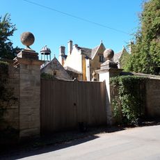
Ablington Manor
Storbritannien

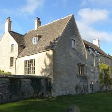
Ablington Manor

1.5 km
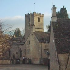
كنيسة سانت ماري
Storbritannien

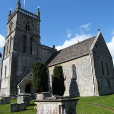
كنيسة سانت ماري

1.1 km
Winson Meadows
Storbritannien

Winson Meadows

2.6 km
Church of St John the Baptist
Storbritannien

Church of St John the Baptist

3.5 km
The New Inn
Storbritannien

The New Inn

3.8 km
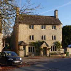
Church House
Storbritannien

Church House

1.2 km
House approximately 20 metres to north west of Church House
Storbritannien

House approximately 20 metres to north west of Church House

1.1 km
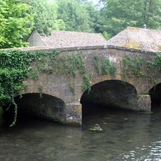
Bridge over River Coln approximately 20 metres north of Bibury Mill
Storbritannien

Bridge over River Coln approximately 20 metres north of Bibury Mill

1.1 km
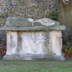
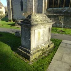
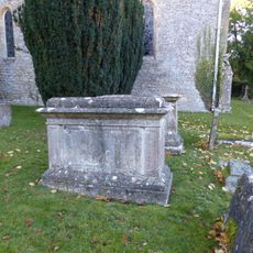
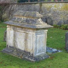
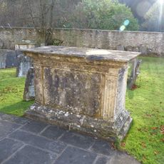
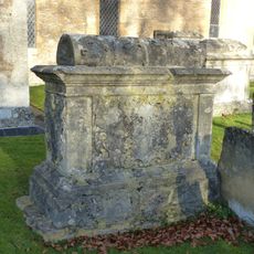
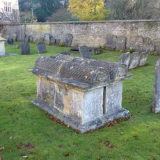
William Skuce monument in the churchyard approximately 15 metres south of south aisle to Church of St Mary
Storbritannien

William Skuce monument in the churchyard approximately 15 metres south of south aisle to Church of St Mary

1.2 km
Bridge Over River Coln Approximately 80 Meters West Of Ablington Manor
Storbritannien

Bridge Over River Coln Approximately 80 Meters West Of Ablington Manor

1.6 km
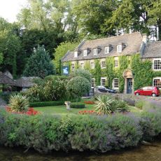
Swan Hotel
Storbritannien

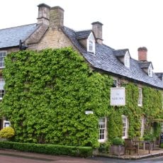
Swan Hotel

840 m
The Stores
Storbritannien

The Stores

3.6 km
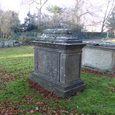
Willson monument in the churchyard approximately 4 metres west of nave to Church of St Mary
Storbritannien

Willson monument in the churchyard approximately 4 metres west of nave to Church of St Mary

1.1 km
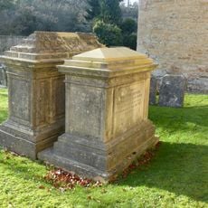
Group of 2 monuments in the churchyard approximately 8 metres south west of porch to Church of St John the Baptist
Storbritannien

Group of 2 monuments in the churchyard approximately 8 metres south west of porch to Church of St John the Baptist

3.5 km
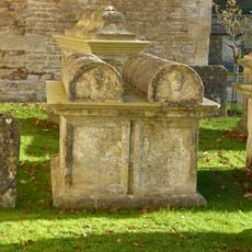
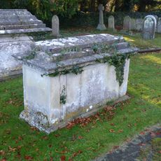
Group of 6 monuments in the churchyard approximately 5 metres south of nave and west of porch to Church of St Mary
Storbritannien

Group of 6 monuments in the churchyard approximately 5 metres south of nave and west of porch to Church of St Mary

1.2 km
Group of 5 monuments in the churchyard approximately 6 metres south of chancel to Church of St John the Baptist
Storbritannien

Group of 5 monuments in the churchyard approximately 6 metres south of chancel to Church of St John the Baptist

3.5 km
John Marchant monument in the churchyard approximately 20 metres south of chancel to Church of St Mary
Storbritannien

John Marchant monument in the churchyard approximately 20 metres south of chancel to Church of St Mary

1.2 km
Bridge House
Storbritannien

Bridge House

1 km
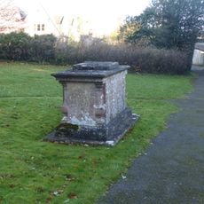
John Hignell monument in the churchyard, approximately 4 metres south of porch to Church of St Mary
Storbritannien

John Hignell monument in the churchyard, approximately 4 metres south of porch to Church of St Mary

1.2 km
Group of 4 monuments in the churchyard approximately 15 metres south of tower to Church of St John the Baptist
Storbritannien

Group of 4 monuments in the churchyard approximately 15 metres south of tower to Church of St John the Baptist

3.5 km
Group of 9 monuments in the churchyard approximately 4 metres south of chancel to Church of St Mary
Storbritannien

Group of 9 monuments in the churchyard approximately 4 metres south of chancel to Church of St Mary

1.2 km
John Smith monument in the churchyard approximately 10 metres south east of chancel to Church of St John the Baptist
Storbritannien

John Smith monument in the churchyard approximately 10 metres south east of chancel to Church of St John the Baptist

3.5 km
Richard Marchant monument in the churchyard approximately 7 metres south of south aisle to Church of St Mary
Storbritannien

Richard Marchant monument in the churchyard approximately 7 metres south of south aisle to Church of St Mary

1.2 km
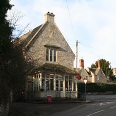
Post Office
Storbritannien

Post Office

3.6 km
Jasper Warren monument in the churchyard approximately 3 metres south of south aisle to Church of St Mary
Storbritannien

Jasper Warren monument in the churchyard approximately 3 metres south of south aisle to Church of St Mary

1.2 km
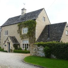
Arlington Farmhouse
Storbritannien

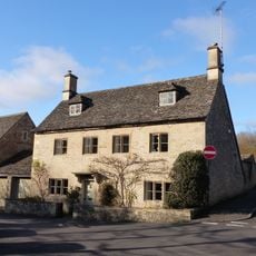
Arlington Farmhouse

1.2 km
Vis hele kortet
Anmeldelser
Del din oplevelse

Ingen anmeldelser endnu

Diskussioner
Start en diskussion...

Ingen diskussion endnu

« Bibury - Landsby i Cotswolds, Gloucestershire, England » leveres af Around Us (da.aroundus.com). Billeder og tekster stammer fra Wikimedia-projektet under en Creative Commons-licens. Du må kopiere, distribuere og ændre kopier af denne side på de betingelser, licensen fastsætter, så længe denne note er tydeligt synlig.

Opdag skjulte perler overalt, hvor du kommer!

Fra hemmelige caféer til betagende udsigtspunkter: spring de overfyldte turiststeder over, og find steder, der passer til din stil. Vores app gør det nemt med stemmesøgning, smarte filtre, ruteoptimering og insidertips fra rejsende verden over. Download nu for den fulde mobiloplevelse.
Around Us App Screenshot
❝

En unik måde at opdage nye steder på❞

— Le Figaro

❝

Alle de steder, der er værd at udforske❞

— France Info

❝

En skræddersyet udflugt med få klik❞

— 20 Minutes

Around Us
Rejseguide & kort
Download

Send til din telefon

QR Code
1

Åbn kameraappen på din mobil.

2

Ret kameraet mod QR-koden. Der vises en notifikation.

3

Tryk på notifikationen for at åbne linket.