Kiste åbnet
+${chestReward.xp} XP
Explorer
NOUVEAU ×${chestReward.collectible.quantity}
tapez pour fermer

Se monumenterne omkring dig i AR Åbn kister i appen

Around Us er lavet til din telefon — ret dit kamera mod gaderne, og opdag monumenter og steder omkring dig i augmented reality. Around Us er lavet til din telefon — kister låses op, når du går, udforsker og fotograferer steder i nærheden.

•

Aktivér placering

Vi har brug for din placering for at vise dig interessante steder omkring dig

Opdag steder i nærheden

Find interessante steder og skjulte perler omkring dig

Præcise rutevejledninger

Få præcise rutevejledninger og afstande til steder

Din placering deles aldrig med andre brugere. Den bruges kun, når du trykker på placeringsknappen.

Barnby Dun with Kirk Sandall

Log ind på din konto

Begynd at udforske — det er gratis

92.283 rejsende verden over stoler på os

Fortsæt med Google
Fortsæt med Apple
eller

Vi sender dig en kode, så du kan logge ind

Ved at fortsætte accepterer du vores vilkår og betingelser og vores privatlivspolitik

Tjek din indbakke

Vi har sendt en pinkode til din indbakke. Indtast koden nedenfor.

Barnby Dun with Kirk Sandall

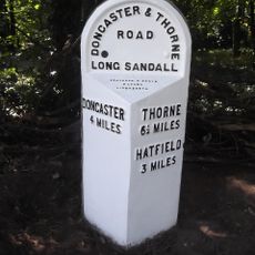
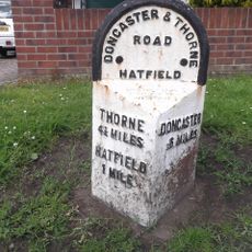
Barnby Dun with Kirk Sandall, civil parish in South Yorkshire, UK

Fællesskabet af nysgerrige rejsende

AroundUs samler tusindvis af udvalgte steder, lokale tips og skjulte perler, som hver dag beriges af 92.283 bidragydere verden over.
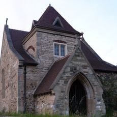
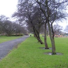
Begynd at udforske
Placering
GPS-koordinater
53.57912,-1.06555
Seneste opdatering
9. marts 2025 kl. 07:35
Omkring dette sted
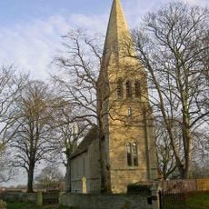
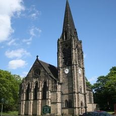
St Oswald's Church, Kirk Sandall
Storbritannien

St Oswald's Church, Kirk Sandall

1.8 km
Sandall Park
Storbritannien

Sandall Park

4.1 km
Church of St Lawrence
Storbritannien

Church of St Lawrence

4.3 km
Church of All Saints
Storbritannien

Church of All Saints

4.7 km
Church of All Saints
Storbritannien

Church of All Saints

4.8 km
Church of St Cuthbert
Storbritannien

Church of St Cuthbert

5.1 km
Church of All Saints
Storbritannien

Church of All Saints

7 km
Church of St Peter
Storbritannien

Church of St Peter

6.7 km
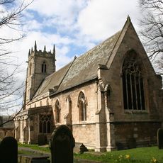
Church of St Mary
Storbritannien

Church of St Mary

4.7 km
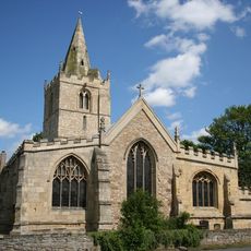
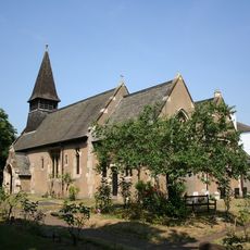
Church of St Peter and St Paul
Storbritannien

Church of St Peter and St Paul

569 m
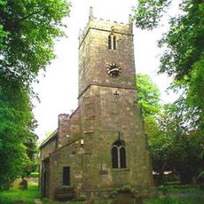
Church of St Mary
Storbritannien

Church of St Mary

2.1 km
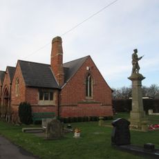
War Memorial Immediately to East of Chapel at Stainforth Cemetery
Storbritannien

War Memorial Immediately to East of Chapel at Stainforth Cemetery

2.9 km
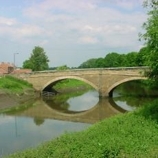
Stainforth Bridge
Storbritannien

Stainforth Bridge

3.3 km
Milepost Opposite Northern Junction With Rosendale Road
Storbritannien

Milepost Opposite Northern Junction With Rosendale Road

6.1 km
Milepost Approximately 40 Metres To West Of Entrance To Wyndthorpe Hall
Storbritannien

Milepost Approximately 40 Metres To West Of Entrance To Wyndthorpe Hall

2.9 km
Milepost Approximately 30 Metres To North Of Entrance To Hatfield Manor House
Storbritannien

Milepost Approximately 30 Metres To North Of Entrance To Hatfield Manor House

4.3 km
Milepost Approximately 130 Metres North Of Junction With Adwick Lane
Storbritannien

Milepost Approximately 130 Metres North Of Junction With Adwick Lane

6.2 km
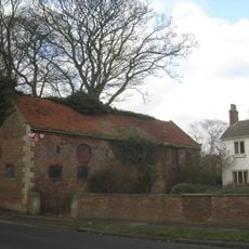
Coachhouse Immediately To South West Of Hatfield House Farmhouse
Storbritannien

Coachhouse Immediately To South West Of Hatfield House Farmhouse

4.2 km
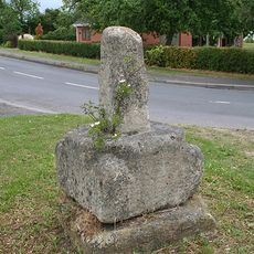
Wayside cross on Trundle Lane
Storbritannien

Wayside cross on Trundle Lane

4.9 km
Milepost Approximately 180 Metres South Of Junction With Holme Lane
Storbritannien

Milepost Approximately 180 Metres South Of Junction With Holme Lane

5.9 km
Thorpe Marsh Nature Reserve
Storbritannien

Thorpe Marsh Nature Reserve

3.3 km
Wayside cross on Pinfold Lane
Storbritannien

Wayside cross on Pinfold Lane

5 km
Owston Hall Flats 1 To 5 And Including The Old Hall
Storbritannien

Owston Hall Flats 1 To 5 And Including The Old Hall

7.1 km
Milepost 30 Metres North Of Stonehaven
Storbritannien

Milepost 30 Metres North Of Stonehaven

2.8 km
Milepost Approximately 30 Metres To North East Of Mile End Avenue
Storbritannien

Milepost Approximately 30 Metres To North East Of Mile End Avenue

3.6 km
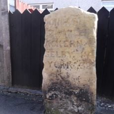
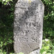
Milestone, N of Hatfield Woodhouse
Storbritannien

Milestone, N of Hatfield Woodhouse

6.3 km
Milestone, at fork of A19 and UC road to Sutton & Campsall
Storbritannien

Milestone, at fork of A19 and UC road to Sutton & Campsall

6.6 km
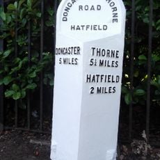
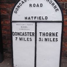
Milestone, Thorne Road, W of TI jct with Armthorpe Lane, Hatfield Lane
Storbritannien

Milestone, Thorne Road, W of TI jct with Armthorpe Lane, Hatfield Lane

2.8 km
Vis hele kortet
Anmeldelser
Del din oplevelse

Ingen anmeldelser endnu

Diskussioner
Start en diskussion...

Ingen diskussion endnu

« Barnby Dun with Kirk Sandall - civil parish in South Yorkshire, UK » leveres af Around Us (da.aroundus.com). Billeder og tekster stammer fra Wikimedia-projektet under en Creative Commons-licens. Du må kopiere, distribuere og ændre kopier af denne side på de betingelser, licensen fastsætter, så længe denne note er tydeligt synlig.

Opdag skjulte perler overalt, hvor du kommer!

Fra hemmelige caféer til betagende udsigtspunkter: spring de overfyldte turiststeder over, og find steder, der passer til din stil. Vores app gør det nemt med stemmesøgning, smarte filtre, ruteoptimering og insidertips fra rejsende verden over. Download nu for den fulde mobiloplevelse.

Around Us App Screenshot
❝

En unik måde at opdage nye steder på❞

— Le Figaro

❝

Alle de steder, der er værd at udforske❞

— France Info

❝

En skræddersyet udflugt med få klik❞

— 20 Minutes

Around Us
Rejseguide & kort
Download

Send til din telefon

QR Code
1

Åbn kameraappen på din mobil.

2

Ret kameraet mod QR-koden. Der vises en notifikation.

3

Tryk på notifikationen for at åbne linket.